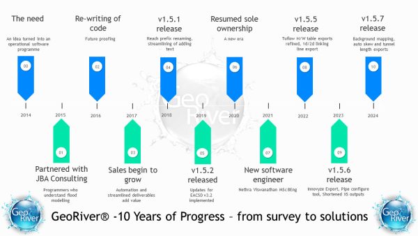
It was three years ago when we put pen to paper and started developing a standalone piece of software that was to take river model data further towards the finished article. After hours of meetings in darkened rooms, many hours at the keyboard, and countless testing phases we are about to release version 1.0. This is base camp for Storm Georiver – the software is fully functional and ready to handle all kinds of data that is thrown at it. It will cope with data format problems that have never been automatically solved before and at the same time it will develop to solve more and more complex issues.
Having tested it on over 1000 river sections of differing types, it feels like a very solid platform – it keeps producing the results. Our users here think it is a breath of fresh air and the feedback comes in words such as – easy to use, that’s good, that’s useful, it’s done already!
We’re looking forward to sharing this with other professionals in the hydraulic engineering industry, I’m especially looking forward to demonstrating it!


